Wet weather targets Gulf Coast Halloween festivities
A moving system brings a 60% chance of rain and thunderstorms Saturday night, potentially disrupting outdoor plans while keeping severe weather risks low.
By Rahul Garnier ·
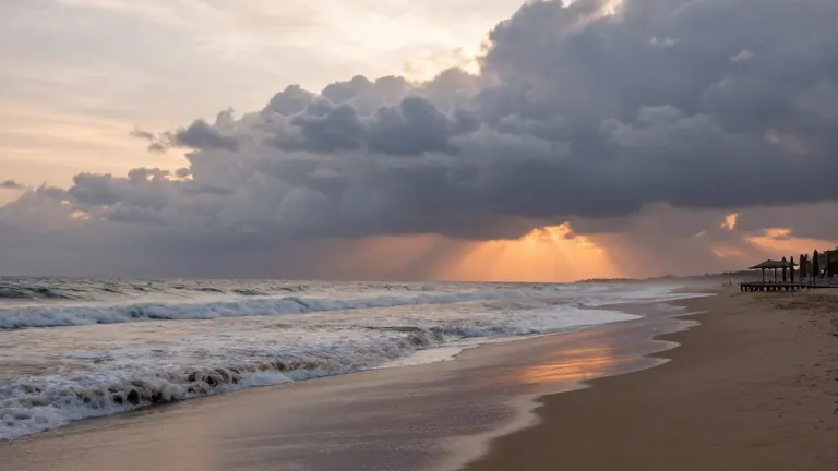
Sunshine and warmth characterize the Gulf Coast forecast through Friday, but a changing weather pattern sets the stage for a wet Halloween weekend. A system moving across the Southeast will introduce scattered showers on Saturday afternoon, followed by a higher probability of rain and thunderstorms from Saturday night through Sunday. Forecasters indicate the risk of severe weather remains low, and the system is expected to move through the region quickly.
The dry spell continues Thursday, with temperatures reaching 81 degrees. Clouds will increase overnight, dropping lows to 59 degrees. Friday mirrors Thursday's warmth, staying partly sunny with a high near 82 degrees. As moisture returns gradually, it primes the atmosphere for the weekend precipitation.
Saturday offers a mixed outlook for outdoor activities. Most of the day may remain dry, but the probability of showers rises to 40% in the afternoon. Thunderstorms become possible after 4 p.m., with highs hovering around 81 degrees. The conditions turn less favorable in the evening, when the chance of rain climbs to 60% and temperatures settle into the middle 60s. Residents planning trick-or-treating are advised to bring rain gear and monitor updates before heading out.
Sunday presents the wettest portion of the weekend, carrying a 60% chance of showers and thunderstorms. Cloud cover and rain will limit daytime heating, keeping highs near 78 degrees. The primary window for precipitation spans from Saturday afternoon through Sunday morning, though showers could persist into later hours. Organized severe storms are not a major concern, as instability and wind shear remain modest. The main impact will be rain disrupting Halloween events and Sunday outdoor plans.
Conditions improve by Monday, which looks mostly dry with partly sunny skies and a high near 79 degrees. Rain chances return Tuesday and Tuesday night as another system approaches, making showers and thunderstorms likely by Wednesday. The timing of that subsequent system remains uncertain, leaving room for forecast adjustments.
Beach and boating conditions require attention. A moderate risk of rip currents persists through the workweek and may increase to a high risk over the weekend. Winds will turn southeasterly, bringing larger swells to area beaches. Boaters should monitor Gulf conditions as winds and showers increase from Saturday night into Sunday.
Source: WALA-TV