
Peace River Floods Persist as Sarasota Faces More Rain Before Weekend Dry Spell
Runoff from Monday's heavy rainfall keeps river levels high through Thursday, while a cold front promises cooler air by Saturday night.
By Katherine Diallo ·
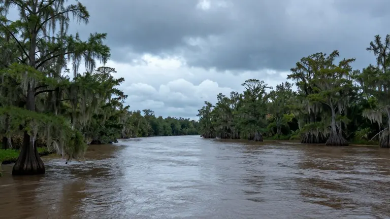
Rain has not yet stopped falling in DeSoto County.
River flooding will remain a primary concern through Thursday afternoon, particularly along the Peace River. The water levels are rising because runoff from more than 10 inches of rain that fell on Monday is still moving into the main channel. Local forecasts indicate that scattered afternoon storms will continue to fall on Wednesday and Thursday before the region finally dries out.
Wednesday brings a 40% chance of showers, mostly between 3 and 4 p.m., with temperatures reaching 86 degrees. Humidity will make the air feel warmer than the thermometer reading. Thursday follows a similar pattern with scattered storms possible in the afternoon. However, meteorologists expect drying trends to take hold after that window passes.
The weather pattern changes sharply this weekend. A weak cold front is scheduled to move through on Saturday night. This front will introduce drier air and more comfortable conditions, similar to the weather observed two weeks ago. While Saturday’s high temperature will not drop much, Sunday’s low will fall considerably, marking a distinct shift in the atmospheric setup.
A stronger front is expected to arrive next Tuesday. This system could bring another round of cooler and drier air to the region, ending the recent stretch of humidity.
For those heading to the coast, conditions appear favorable. Boaters should expect moderate chop with east winds between 10 and 15 knots, subsiding to 5 to 10 knots in the afternoon. Offshore seas will run around 2 feet. The water temperature has cooled to 77 degrees, though surface waters reach 84 degrees. Sunset is scheduled for 5:45 p.m.
The Atlantic remains quiet. A system moving east has only a 40% chance of developing into a named storm over the next seven days. Even if it does develop, it poses no threat to the United States as it continues eastward. The Caribbean shows no tropical activity. The next available storm names are Kyle and Leah, though the season is expected to wind down soon.
Source: WWSB