Fall Chill Returns to Gulf Coast
Weekend highs drop into the 60s and lows reach the 30s in northern Alabama.
By Rahul Garnier ·
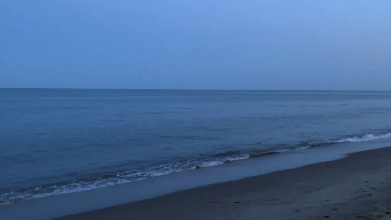
A cold front pushed into the Gulf Coast on Wednesday, bringing passing showers and storms to the region. The weather system also created a high risk of rip currents at local beaches. Conditions are clearing overnight, with evening temperatures settling into the lower to mid-60s.
Forecasters expect rain chances to drop quickly as the initial energy moves away. Partly cloudy skies will follow. Dense fog may develop late tonight into early Thursday morning due to lingering surface moisture. This fog could impact the morning commute.
The front will stall across the area on Thursday. This keeps conditions mild and quiet with a mix of sunshine and clouds. Afternoon highs will reach the lower 80s. Most neighborhoods will stay dry, though an isolated shower is possible along the stalled boundary.
A secondary disturbance will push the front through to the coast on Friday. This creates a slight chance for a passing shower before clearing out by Friday night. Afternoon temperatures will top out in the upper 70s before cooler air begins to filter in.
A noticeable fall chill will settle across the Deep South for the weekend. Saturday will see mostly sunny skies with highs in the middle 70s. Sunday highs will struggle to leave the 60s. Overnight lows will drop into the 40s across coastal and central counties. Far northern inland communities will see temperatures dip into the mid-to-upper 30s, where patchy frost is possible.
Source: WALA-TV